Mississippi’s state waterfowl stamps help fund waterfowl research and monitoring projects which inform management on public and private lands, provide public information, and contribute to waterfowl harvest management regulations.

Aerial Waterfowl Surveys:

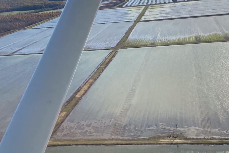
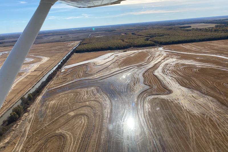
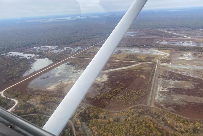
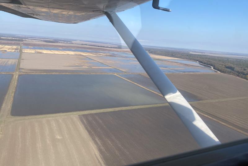
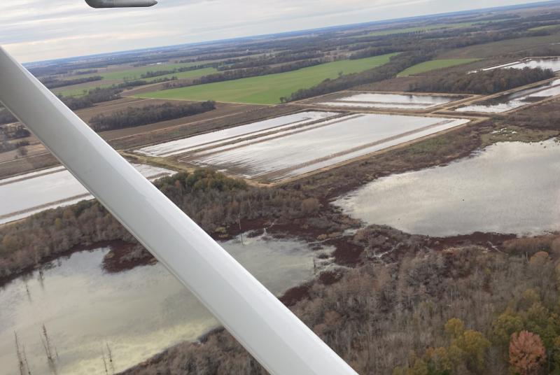
MDWFP biologists fly aerial waterfowl surveys in the Mississippi Delta from November to January. Surveys are typically conducted four times a year along randomly selected transects.  As biologists fly along the east-west transects from the Mississippi River to the hill line, they count all of the ducks seen within a 250-meter strip, which is marked on the airplane.  Each group of ducks is recorded with a Global Positioning System (GPS) to generate maps. Biologists then use the total number of ducks counted along the transects to calculate an estimate of all of the ducks in the Mississippi Delta. While not a complete count of all waterfowl, these estimates provide an accurate index of waterfowl abundance throughout the Delta. This information is regularly used by both MDWFP and hunters to identify key wetland areas for waterfowl and to track responses of waterfowl to changes in weather and habitat.  In fact, the Arkansas Game and Fish Commission adopted this survey method in 2009.  These surveys will help biologists and hunters better understand waterfowl migration throughout the lower Mississippi Flyway
Waterfowl Banding Operations:

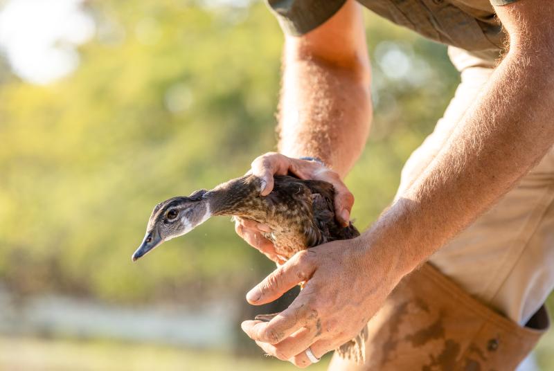
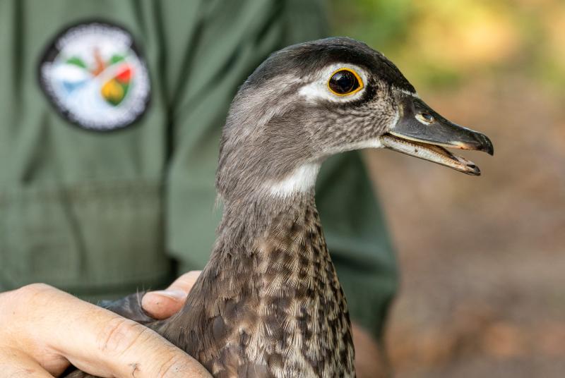
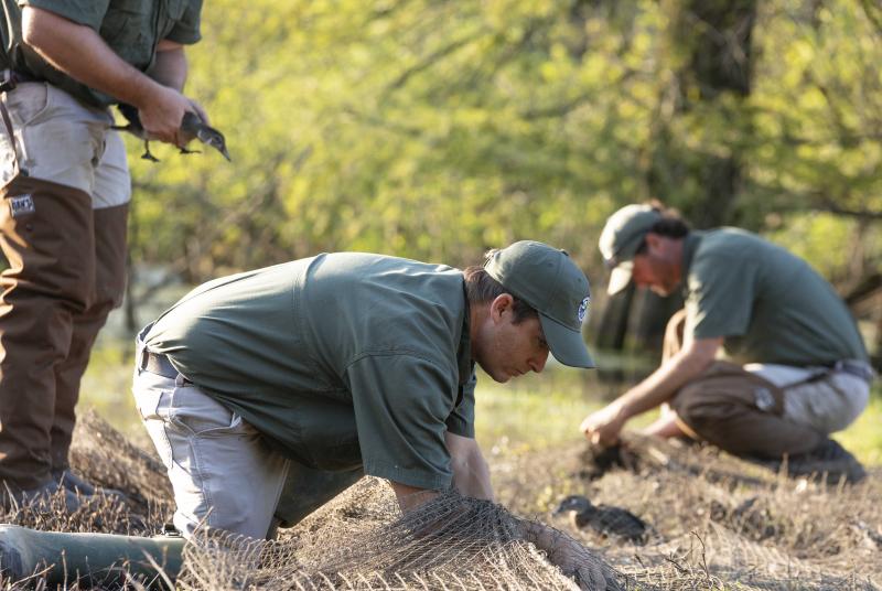
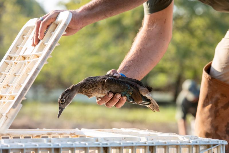
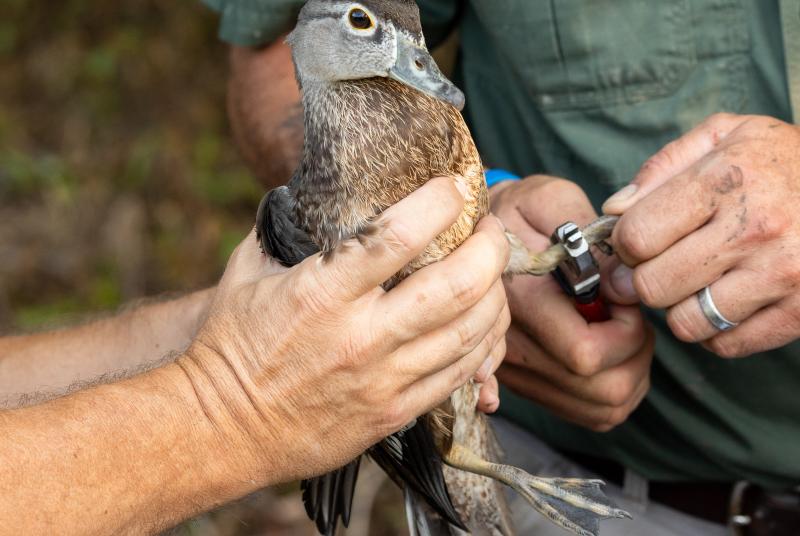
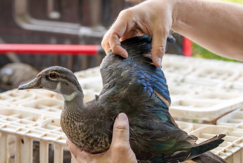
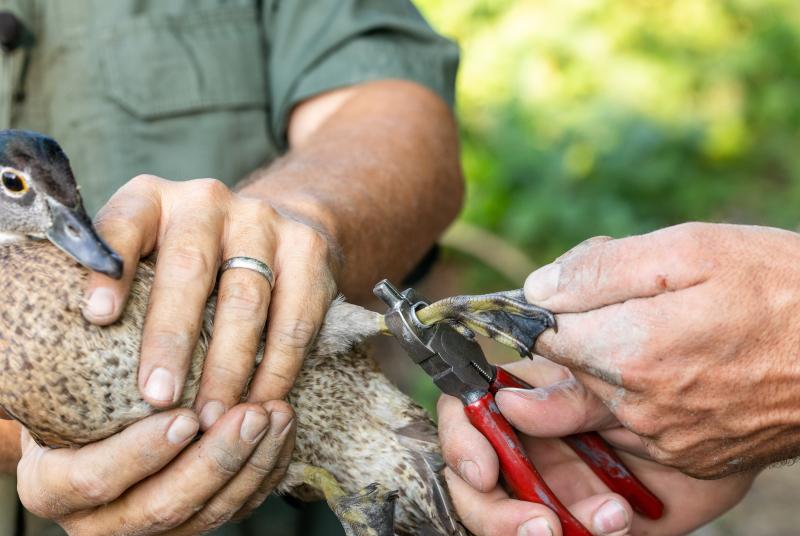
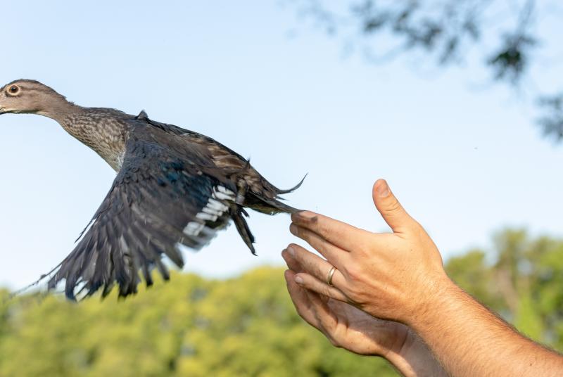
Waterfowl stamp funds support ongoing banding and population monitoring of resident wood ducks in Mississippi. During the banding process, each captured bird is carefully handled and fitted with a small, uniquely numbered aluminum leg band before being released back into the wild. If a banded bird is later harvested by a hunter or recaptured by researchers, the band number can be reported, allowing biologists to track movement patterns, survival rates, and harvest pressure. This long-term data helps wildlife managers better understand population trends and make informed decisions about habitat management and hunting regulations.

Mississippi State Waterfowl Research:

Researchers are using GPS transmitters on mallards, gadwall, and northern pintails to better understand how these birds use habitat during the winter. The tracking data helps determine how weather, wetland availability, and hunting disturbance influence their movements and behavior. These transmitters also provide valuable information on the timing of spring migration and identify summer breeding locations. 

In addition to tracking movements, researchers are quantifying the structure and composition of the habitats used by marked birds and collecting blood and feather samples to study genetics and determine the birds’ geographic origins.