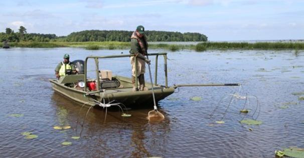
Weekly fishing reports will return February 15th. Below are a few hints for fishing during the winter and early spring.
| Species | Detail |
|---|---|
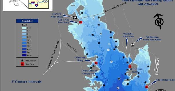
| Largemouth Bass | Bass should be targeted around deep structure and creek channels. Crank baits or spinner baits work well this time of year. Carolina rigs fished slowly can be productive also. On warmer days fish may move shallow into stump fields or along the rocks at the island. |
| Crappie | Crappie will be in deeper water along creek channels and ledges. The creek that runs adjacent to Twittly Branch Campground and the Sunken Island are popular areas to harvest crappie this time of year. The rocks along the dam should be productive on warmer days. Fishing vertically or trolling in these areas with jigs or minnows should produce some nice fish. Chartreuse/white or orange/white is always good colors at Okatibbee anytime of the year. |
| Bream | Bream should be holding in 8 - 10 ft. of water around brush piles or other types of natural structure. Tightlining on the bottom with crickets or worms will be the best method for catching winter time bream. |
| Catfish | Catfish can be targeted with trot lines and jugs out in open water. Tightlining on the bottom with liver, worms or blood baits can also be very good methods for harvesting catfish this time of year. |